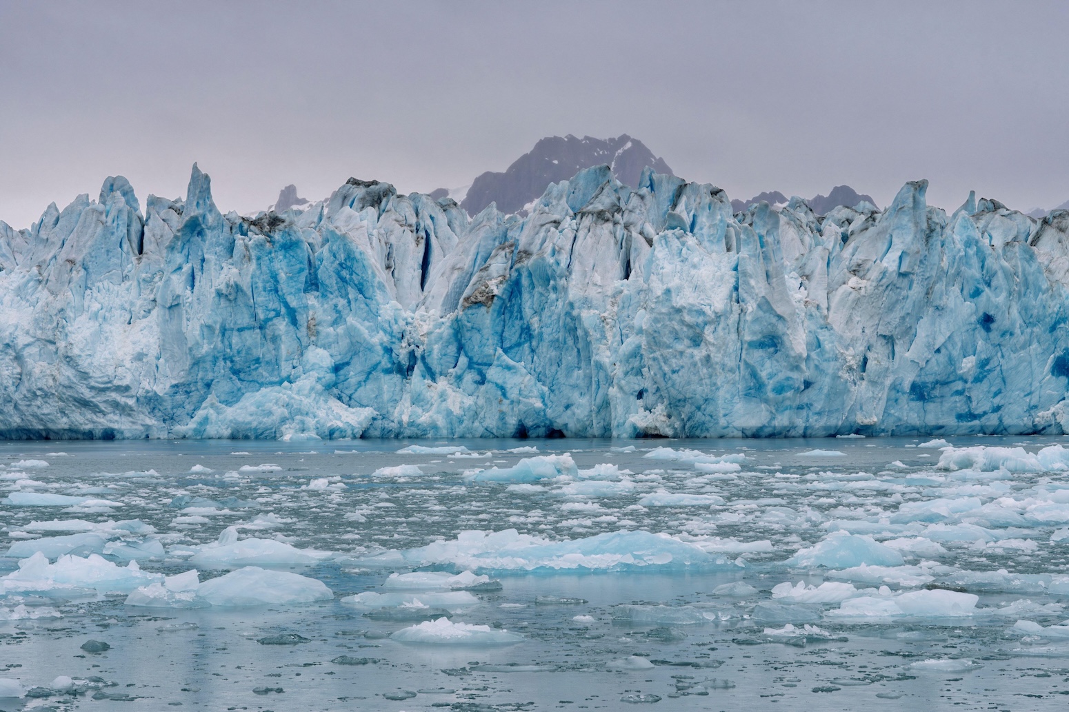
Greenland's ice sheet has contracted for three consecutive decades, marking an unbroken streak of annual ice loss that extends from 1995 through 2024. This 30-year period represents the longest continuous melting episode in the satellite record, fundamentally altering the Arctic's mass balance and raising sea levels worldwide.
The data comes from satellite measurements tracked by institutions including the University of Colorado's National Snow and Ice Data Center and NASA's Jet Propulsion Laboratory. These agencies employ microwave radar and laser altimetry to measure ice sheet elevation changes with precision, translating volume loss directly into sea level rise calculations.
The scale of the loss staggered observers. Greenland now sheds approximately 280 billion tons of ice annually, a rate that has accelerated sharply since 2000. During the 1990s, the ice sheet lost roughly 50 billion tons per year. That figure nearly tripled in subsequent decades as Arctic warming outpaced global average temperature increases. Greenland contributes roughly 0.7 millimeters to annual sea level rise, accounting for roughly one-fifth of current global ocean rise. Antarctic ice loss and thermal expansion of warming seawater comprise the remainder.
The 30-year decline reflects the physics of polar amplification. Arctic regions warm roughly twice as fast as the global average due to ice-albedo feedback mechanisms. Dark ocean and rock absorb more solar radiation than reflective ice surfaces, accelerating melt. Rising atmospheric CO2 concentrations drive this temperature increase. Greenland's surface now experiences melt seasons lasting weeks longer than in the 1990s, and the snowline has retreated toward higher elevations, exposing darker ice below.
Scientists distinguish between surface melt and submarine calving events, where glaciers break apart at ocean margins. Both pathways remove ice from the system. Surface mass balance measurements indicate that precipitation has increased modestly, but far-above-average summer temperatures overwhelm snowfall gains. Outlet glaciers including Jakobshavn Isbrae, once Greenland's fastest-moving glacier, have responded visibly to ocean warming, though recent slowdown in some sectors has surprised researchers.
The 30-year streak carries implications for coastal planning worldwide. Sea level projections for 2100 now routinely account for Greenland as a primary driver, particularly if warming persists beyond 1.5 degrees Celsius above preindustrial levels. A complete Greenland ice sheet collapse would raise oceans by 7.4 meters, though scientists assess this scenario as unlikely within this century. Partial melting of remaining ice, however, remains on trajectory given current emissions pathways.
Satellite monitoring networks continue refinement. The upcoming NASA-ISRO mission will deploy advanced radar imaging to track ice sheet changes with greater temporal resolution. European Space Agency missions complement these efforts, creating overlapping datasets that reduce measurement uncertainty.
The 30-year milestone arrives as Arctic sea ice extent also hits near-record lows and permafrost thaws accelerate across northern latitudes. These changes interconnect through atmospheric circulation patterns and ocean currents, suggesting the entire Arctic system is shifting toward a warmer baseline. Reversing Greenland's ice loss trajectory requires sustained emissions reductions that most climate models indicate remain within reach if global warming stabilizes near 2 degrees Celsius. Current policy commitments fall short of this target.