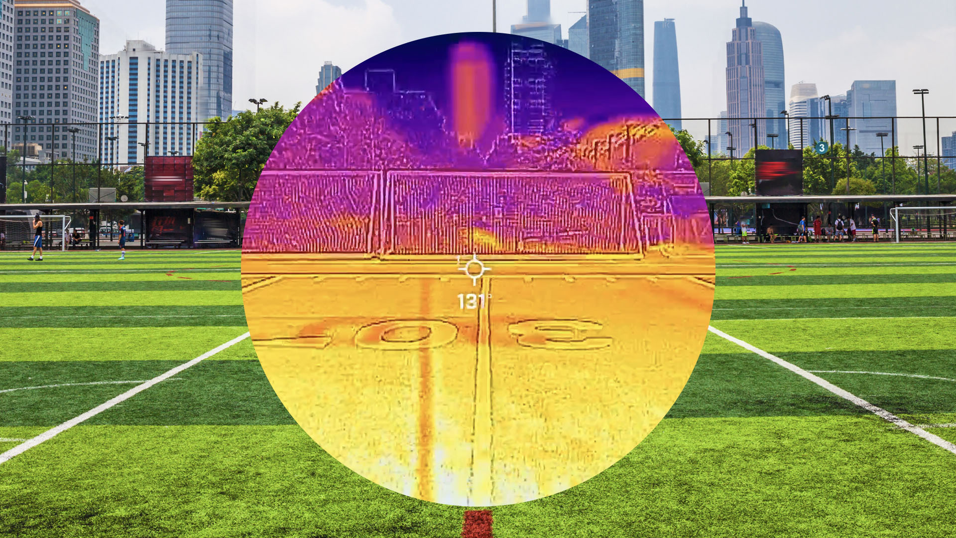
Grist deployed thermal imaging technology across Portland, Oregon to map the city's temperature variations and expose hidden heat inequalities that standard weather apps miss.
The investigation used infrared cameras and satellite data to document how urban heat distributes unevenly across neighborhoods. Wealthier areas with tree canopy and green space remained measurably cooler than dense, built-up districts with less vegetation and more pavement. These temperature differences, sometimes exceeding 10 degrees Fahrenheit between neighborhoods, create genuine health risks for residents in hotter zones.
Standard weather stations provide citywide averages that obscure these microclimatic realities. A single reading from a downtown airport station cannot capture the extreme conditions experienced in neighborhoods lacking shade infrastructure. During heat waves, residents in tree-poor areas face elevated risk of heat-related illness and mortality.
Portland's geography makes these disparities visible. Areas with mature street trees, parks, and residential greenery absorb less solar radiation and release heat more slowly than concrete-dominant commercial zones. The thermal imaging reveals how urban planning decisions, made decades ago, continue shaping who lives in cooler or hotter environments today.
The inequity connects to historical zoning patterns and investment disparities. Lower-income neighborhoods often lack municipal tree-planting budgets and have fewer parks. Industrial and commercial zones concentrate in these same areas, amplifying heat absorption.
Climate change intensifies these effects. As average temperatures rise, the heat gaps between neighborhoods widen. Cities like Portland increasingly recognize urban heat as an environmental justice issue requiring targeted intervention through tree canopy expansion, cool-pavement initiatives, and green infrastructure in underserved districts.
The visualization demonstrates that climate impact is not uniformly distributed. Policy responses must account for these neighborhood-scale variations to protect the most vulnerable populations.