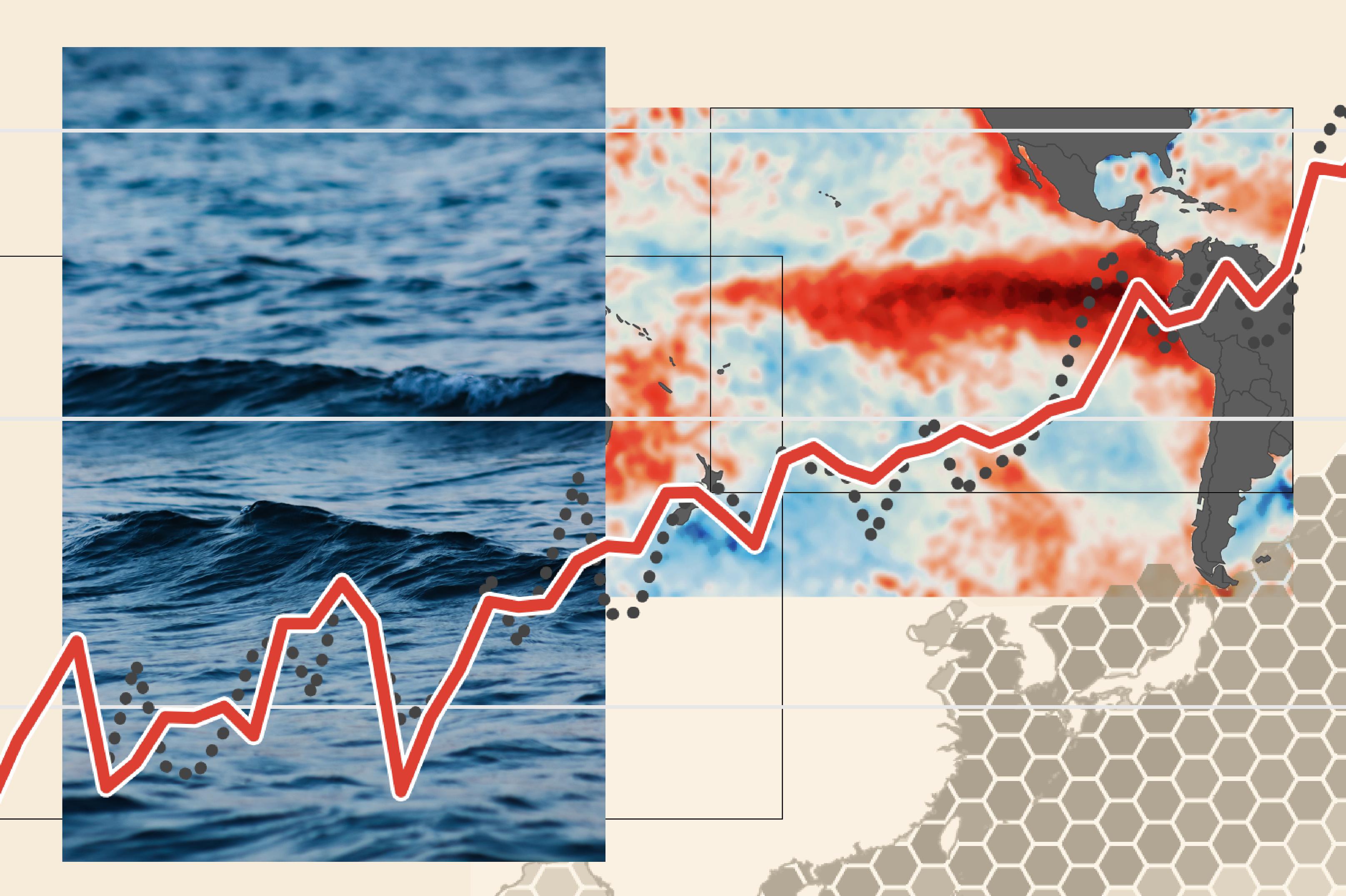
A "super El Niño" event is unfolding this year, with meteorologists anticipating it will rank among the strongest on record. This climate pattern, driven by unusually warm ocean temperatures in the central and eastern Pacific, reshapes weather systems across the globe within months.
El Niño disrupts normal atmospheric circulation by suppressing trade winds and allowing warm water to spread eastward across the Pacific. This heat transfer alters jet stream patterns, steering storms and precipitation away from typical paths. Australia faces severe drought conditions. Southeast Asia experiences reduced rainfall, threatening rice harvests. Meanwhile, the southwestern United States braces for wetter conditions, and East Africa prepares for excessive rainfall that can trigger flooding.
The atmospheric impacts extend beyond regional weather. Super El Niño events inject additional heat into the global climate system, raising annual average temperatures worldwide. Scientists expect 2024 could become the warmest year on record, partly due to this phenomenon layered atop long-term warming from greenhouse gas emissions. The World Meteorological Organization has flagged the event as potentially one of the three strongest El Niño episodes since 1950.
Agricultural systems face acute vulnerability during super El Niño years. Grain production in major exporting regions declines, pushing commodity prices higher and threatening food security in import-dependent nations. Coffee, cocoa, and sugar yields suffer similarly. Coral reefs experience mass bleaching when ocean temperatures rise this sharply, with recovery taking years or decades.
The timing compounds existing pressures. This super El Niño arrives as global temperatures already track 1.1 degrees Celsius above pre-industrial levels. The combination intensifies heat waves, floods, and droughts simultaneously across different continents. Insurance markets brace for elevated claims. Developing nations with limited adaptive capacity face cascading economic losses.
Understanding El Niño's mechanics remains critical for planning. The pattern typically peaks